
Still viewpoint
Stop at the "Still" viewpoint and enjoy being surrounded by splendid views of the River Avon and the Cairngorm Mountains reflected all around you. "Still" is a viewpoint installation at the former limestone quarry, just outside Tomintoul, and sits on the Snow Roads Scenic Route. There is plenty of parking in the large layby and it’s a short, but steep, walk up to the
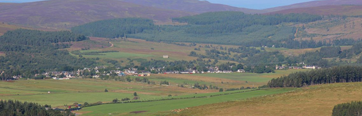
Victor Gaffney viewpoint
Visitors to this dramatic viewpoint are always rewarded. Whether it’s the high tops of the Cairngorms that dominate the horizon or seeing the River Avon meander down from the viewpoint.
The Snow Roads Scenic Route is a 90-mile journey from Blairgowrie to Grantown-on-Spey traversing the highest public road in Britain and travelling through the outstanding landscapes of the eastern Cairngorms. The road links the communities of Braemar, Ballater and Tomintoul with a range of natural and cultural attractions. Three stunning Scenic Route Installations provide new opportunities to stop and explore this wild and beautiful highland countryside.
Avon. Marked by a cairn in memory of local historian Dr. Victor Gaffney, it’s just a short distance from the Campdalmore car park at the north end of the village on the Tomintoul Circular Walk.

Packhorse bridge
This truly picturesque structure spans the Livet at Bridgend of Glenlivet. Only two arches of the bridge have survived - the third was ripped away by floodwater during the great “Muckle Spate” of 1829. No-one knows exactly how old the bridge is, but it’s likely to have been built at the same time as nearby Blairfindy Castle (16th Century).
Park up and enjoy a picnic next to the bridge as the river tumbles through a narrow rocky gorge.
Bridge of Avon
The old Bridge of Avon was built during the construction of the military road in 1754 and carried traffic across the river until 1978. The smaller arch was destroyed during the great floods of 1829 and reconstructed two years later after much inconvenience had been caused to the local people, as it is not possible to ford the river safely at this point. The old bridge was restored as a pedestrian bridge, and has thus provided a crossing point over the Avon for over 200 years. A car park and picnic area are provided alongside.
If you fancy exploring further along on the twisted rocks beneath the bridge, take care – you may not be the first to be lured into a false sense of security by the seemingly shallow depth of this beautiful river.