Outdoor Activities
Long distance routes
The Speyside Way spur
The Tomintoul spur of the Speyside Way is 24km (15 miles) long and runs from Tomintoul, through Glenlivet, joining the main path at Ballindalloch station, and is one of the most spectacular sections of this long distance route.
Starting from Campdalmore car park at the north end of Tomintoul, the path climbs over the moors up to the panoramic viewpoint of Carn Daimh, before descending to the Glenlivet Distillery. From the distillery the route crosses the River Livet and continues over the Hill of Deskie, descending to Ballindalloch where it joins the main route at Cragganmore. At 12km the first section from Tomintoul to Glenlivet Distillery makes a lovely linear walk, taking in some spectacular views and fine scenery. Speyside Way Website
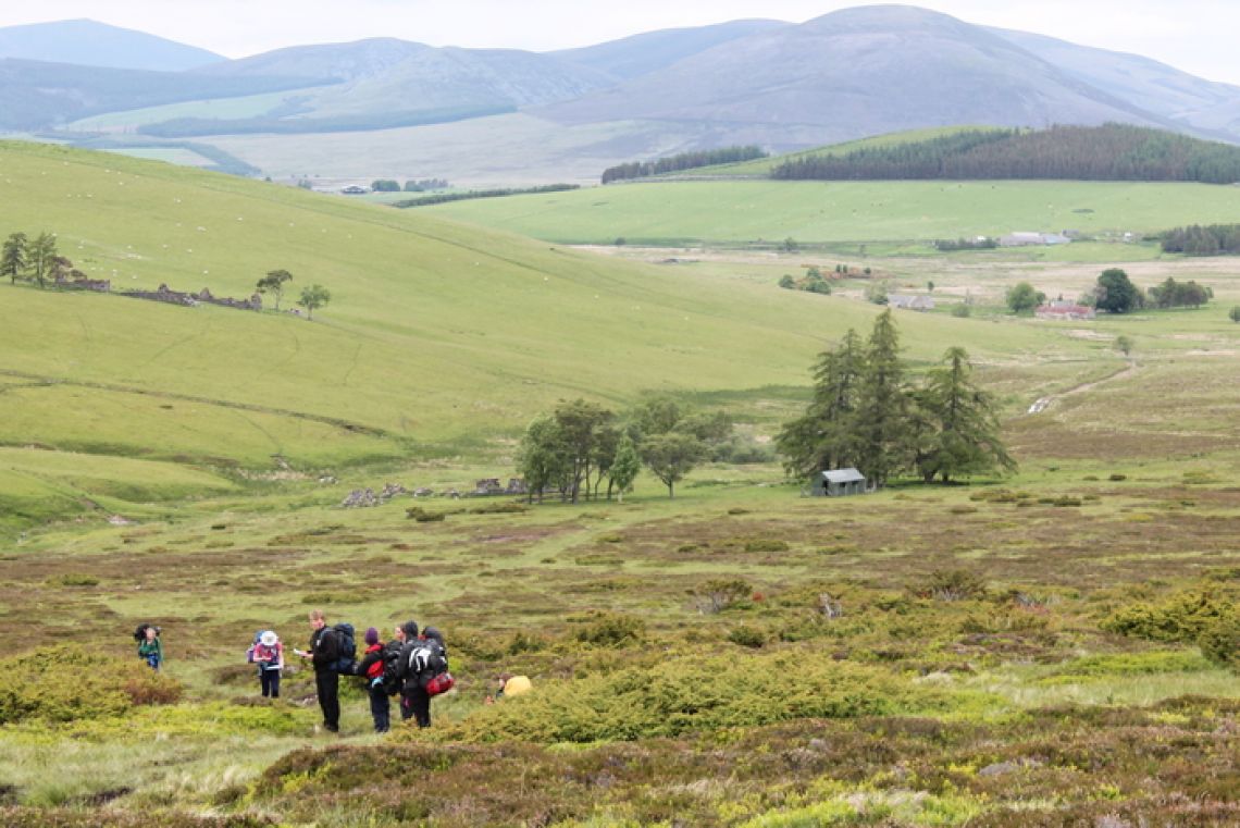
Long distance routes and hill tracks
Several old routes and rights of way radiate out across the hills from Glenlivet. During the 17th and 18th centuries many of these were formally used by whisky smugglers and ‘reivers’ (cattle thieves). They include:
- 'Ladder Road' from the Braes of Glenlivet over the Ladder hills to Donside
- 'Steplar Road' from the Suie in upper Glenlivet to the Cabrach
- The track from the Lecht mine over Carn Dulack to Chapeltown
- Old 'Peat Track' from Strathavon over the Cromdale hills
- The route from Tomintoul to Dorback Lodge (via Bridge of Avon and Glen Brown)
- Deeside route via Inchrory (upper Avonside) and Glengairn
Fingerpost signs mark every route at the principal access points. However, they’re not always waymarked along their length. The routes are often indistinct and pass through high, exposed areas. You should always make sure that you’re properly equipped and able to navigate your way along the route.