Outdoor Activities
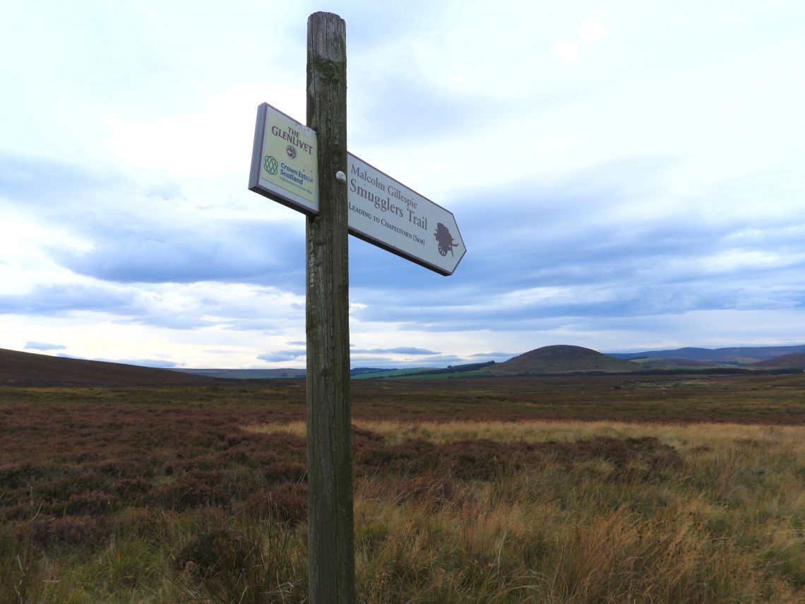
Malcolm Gillespie Smugglers Trail
10.5km/6.5 miles Allow 4 hours
It is likely that both sheep and cattle will be encountered on this walk – please follow the Scottish Outdoor Access Code. Also check field before entering and detour to avoid cattle if necessary. Keep dogs on a lead or under close control and if threatened by cattle release your dog.
Start -
East Auchavaich Car Park (Chapeltown): NJ 242 209 - Follow Malcolm Gillespie fingerposts and plaques - due to the remoteness of this trail and distances between markers it is advised that this walk description should be used along with a map and compass.
Head along the farm track through the farm steading and climb steadily uphill towards the small wood of Tom a Voan. To your right you can pick out the isolated Scalan Seminary amongst the open expanse of the Braes of Glenlivet, and behind you look for the church tower of Chapeltown echoed in the architecture of the Braeval distillery.
The track drops down and heads out to the foot of the Ladder Hills (derived from the Gaelic – leitir, leitreach – meaning slope, side of a hill). Follow the track, with fields below and rough hillside amass with juniper above, and descend round a sharp bend to arrive at the appropriately named Ladderfoot. Here the Ladder Road forks off across the bridge, but stay on the main track, passing the holiday cottage before crossing the burn. The track is easy to follow as it climbs gently up the hillside where red grouse, golden eagle, mountain hare and red deer are all to be found, before dipping down to cross the ford of the Burn of Coirebreac. Look up to the corries to your right and it is easy to imagine the smugglers hiding out in these remote recesses with their well disguised “Sma’ stills” tucked away next to bubbling springs.
The track ascends once more and at its highest point the views open up ahead to the open bowl of the Suie and the wide expanse of the Gordon flats, which once gave smugglers a clear view of approaching officials. Today, look out for the activity of breeding moorland birds in the spring and early summer including curlew, snipe, golden plover and lapwing, to name a few. Follow the track as it twist and turns downhill, before forking off to the left across a section of moor to the edge of the River Livet. Here follow the grassy track to your left and turn almost immediately left and follow the path along the fence line for 300m, where you turn right onto the track. Continue along the track (which at first is fairly indistinct in places) westwards through the heather. This section can be very wet underfoot. The track soon becomes more obvious and crosses the open moor to reach the Blye water and the scattered buildings of the Burnside of Thain. There are lovely views onto the prominent hill of the Bochel and the Braes of Glenlivet.
Please be aware that this section of path across the moor may not be accessible when shooting is in progress during the grouse season. At the Blye water continue across the burn and along the farm track to a junction of tracks above Rhindhu. Turn left and follow the track between the fields to join the tarmac road, where you turn right to descend into the village of Chalpeltown. Turn left and continue on the road through the village until you reach the car park, on your left opposite the church.